Land surveyors, technicians get acquainted to new equipment |14 June 2018
 Local land surveyors no longer need to watch and level the bubble, and can now focus on their task at hand and save time over conventional surveying practices.
This has been made possible through the introduction of the new Leica GS18 T equipment which is equipped with revolutionary captivate software, turning complex data into the most realistic and workable 3D models.
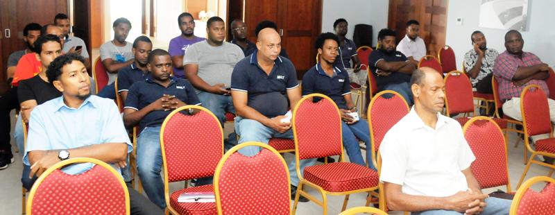
To get the local personal acquainted to the new equipment, a one-day training session was organised yesterday, gathering local data capture technicians, survey technicians, along with government and private land surveyors.
The session which was divided into two parts – a theory and a practical session –was led by South African Shane Van Biljon, the service workshop manager at Leica Geomatics which manufactures the product.
Among the main areas covered were the equipment’s new features and applications, calibration and field calculation.
Launching the training session, director of surveys Julien Alexis said it is aimed at training the local personnel on how to better use, handle and maintain the new equipment.
He noted that due to its extreme fragility, the new equipment is always at risk of mechanical damage due to our rough terrain condition.
Mr Alexis explained that such training is important as it will equip the local technicians with much-needed skills on, not only how to better handle the equipment, but also how to re-calibrate them in case of minor damages.
This, he said, will stop them from sending the equipment to South Africa for minor maintenance.
The new Leica GS18 T is immune to magnetic disturbances, calibration-free and is equipped with easy-to-use apps and familiar touch technology, while all forms of measured and design data can be viewed.