


Seychelles and Mauritius claim part of Mascarene plateau |26 February 2009

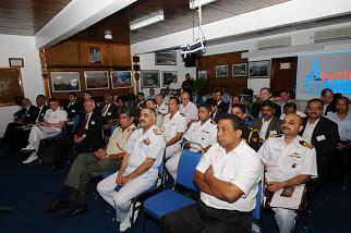
Veronique Herminie, principal secretary for natural resources and transport, said this yesterday when welcoming delegates from 13 countries attending the 9th North Indian Ocean Hydrographic Commission (NIOHC) meeting at the New Port.
“We have submitted, amicably, the joint claim for an area of 387,000 square kilometres in the region of the Mascarene Plateau to the UN Commission on the Limits of the Continental Shelf,” she said.
Mrs Herminie addressing guests and delegates at the opening of the meeting yesterday
She also said claims to other areas are being prepared for submission in the near future.
It is now expected the commission will review the claim which, if accepted, will mean Seychelles and Mauritius can use whatever is on and below the seabed, although the waters above it will remain international, Nation later learned.
The two countries will also decide whether to continue exploiting the new area jointly or divide it.
Mrs Herminie said the delineation of the extended continental shelf shows the high importance being placed on the subject of hydrography.
“Hydrography is an important field of science to Seychelles, being an archipelago of 115 islands with an Exclusive Economic Zone (EEZ) of approximately 1.4 million square kilometres,” she said.
“Given the emphasis now being placed on fisheries, petroleum exploration, the development of Port Victoria as a regional port and the importance given to the protection of our coastal zones as well as certain marine species, it is but natural that the sea, the seabed and all the associated marine resources are of concern to Seychelles.”
She said even though Seychelles is not a full member of the NIOHC, we have been very closely associated with its activities since it was set up in 2002.
“The small hydrographic brigade of the Seychelles Coast Guard has represented the country and contributed fruitfully to almost all the annual meetings of the commission,” she said.
She noted that Seychelles has benefited greatly from the commission in terms of training and three joint hydrographic surveys carried out by Indian hydrographic survey ships in our territorial and EEZ waters.
“The surveys have generated detailed information about the waters and seabed of specific areas,” added Mrs Herminie.
“The survey carried out in February 2008, for example, has resulted in the generation of a navigational chart titled Western Approaches to Mahe Island, which will be handed over to the Seychellois authorities by the chairman of the NIOHC during the course of the week.”
The chairman, India’s chief hydrographer Rear Admiral B R Rao, stressed the continued need to update the region’s charts, saying for example the tsunami of 2004 brought significant changes to the seabed, although this region was not badly affected.
Vice Admiral Alexandros Maratos, who heads the International Hydrographical Organisation, commended Seychelles for its increased involvement with hydrographic activities in the region and said we are setting a good example for other small island states to follow.
Among those who attended the opening ceremony were the chief of Defence Forces Brigadier Leopold Payet, Indian High Commissioner Arun Kumar Nag, Seychelles Ports Authority chief executive Lt Col Andre Ciseau and the new head of the Seychelles Maritime Safety Administration, Lt Col Michael Rosette.